|
Three types of maps are used to explain the route and features along the MacLehose Trail Trailmaps are designed for those not used to map reading and show details of the path. They include MacLehose Marker posts that lie at intervals of half a kilometre, making location easy. Other details such as vegetation,buildings, sign posts and many other features are also given.
Numbered points along the trail refer to notes explaining features of interest 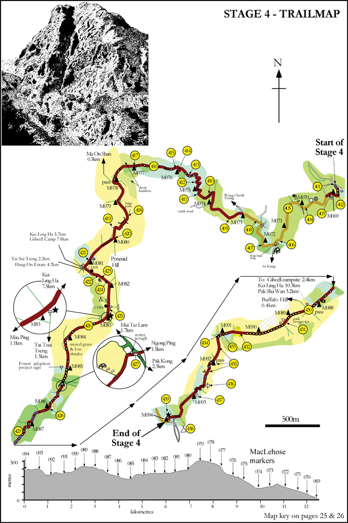
|